New theory explains urban sprawl
Most cities follow a familiar pattern – they start at the center of trade routes or near plentiful food resources, gradually accumulating population, and ending with multiple centers connected by urban sprawl. But what’s behind the evolution of a metropolis? A new mathematical model by two physicists holds the answer to how cities and their suburbs expand from monocentric to polycentric areas.
Population spurts create alternative city centers
In their paper “Modeling the Polycentric Transition of Cities,” Marc Barthelemy and Remi Louf of Institute for Theoretical Physics in France argue that the major cities of the world develop around their traffic. Based on data gathered from around 9,000 US cities from 1994 to 2010, the mathematical model “explains the appearance of subcenters [in a city] as an effect of traffic congestion.”
According to the study, a decentralized population gives rise to multiple urban centers. At first, everyone goes to the city center, but spurts of population growth in the city result in traffic congestion, making it harder to reach the busiest neighborhoods. People begin to look for more convenient locations around the city, which gradually leads to the birth of new centers of activity for employment and recreation.

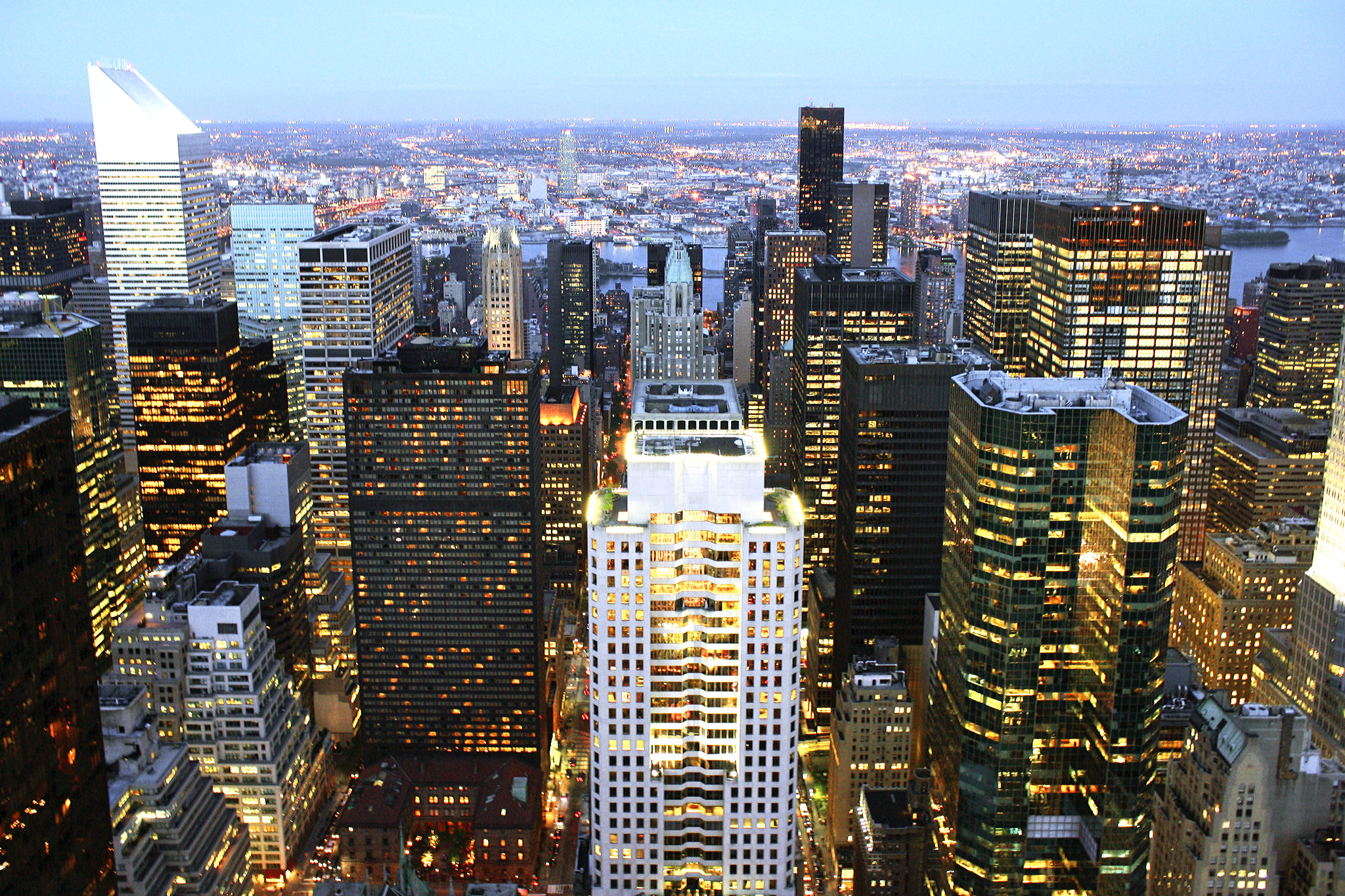
Manhattan has long been New York City’s commercial center, but the city has eight distinct commercial districts. Image by: Dimitry B
According to the research, these alternative hotspots don’t just crop up in metropolises – experts observed the same phenomenon in small and medium sized cities, too. Barthelemy says, “It’s an interplay between how attractive the place is, and how much time it takes to go there.”
In other words, efficient transportation keeps a city centralized only until the population reaches a saturation point. As the cities reach a population threshold, cities inevitably become polycentric. The authors of this research paper believe that a similar pattern is expected across cities in other countries of the world as well.
Though oversimplified, mathematical model useful for exploring polycentricity
Michael Batty, an urban planner at University College London, says that although it leaves out zoning restrictions and ignores certain cases where smaller villages merged to evolve into larger cities, the model is still useful for exploring polycentricity. “Although it is a major simplification of the real world, it has enough elements to make it work, and the dynamics they produce are interesting and plausible,” he says.
David Levinson, a transportation engineer at the University of Minnesota, says that a clearer understanding of the evolution of metropolitan polycentricity could prove useful, especially considering that two thirds of the world’s population is expected to be urban by the year 2050. Levinson says, “If planners imagine a city to take a particular form, but that’s not the way the city wants to behave, we’ll be making unwise investments.”
The mathematical model is still undergoing changes to include factors like public transportation, which can slow the birth of newer sub centers. With this model, it can become easier to estimate traffic delays, map gas consumption and CO2 emissions, all of which will aid planners and policy makers to understand how these factors change as a city grows.
Category: Infrastructure, Trends


